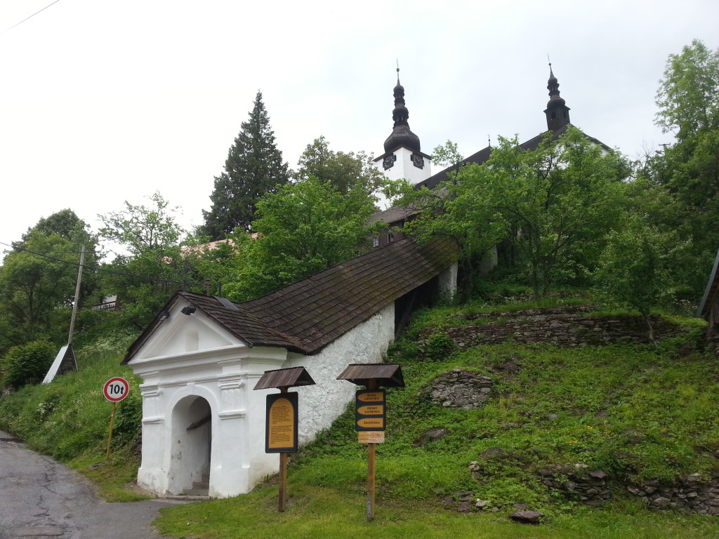
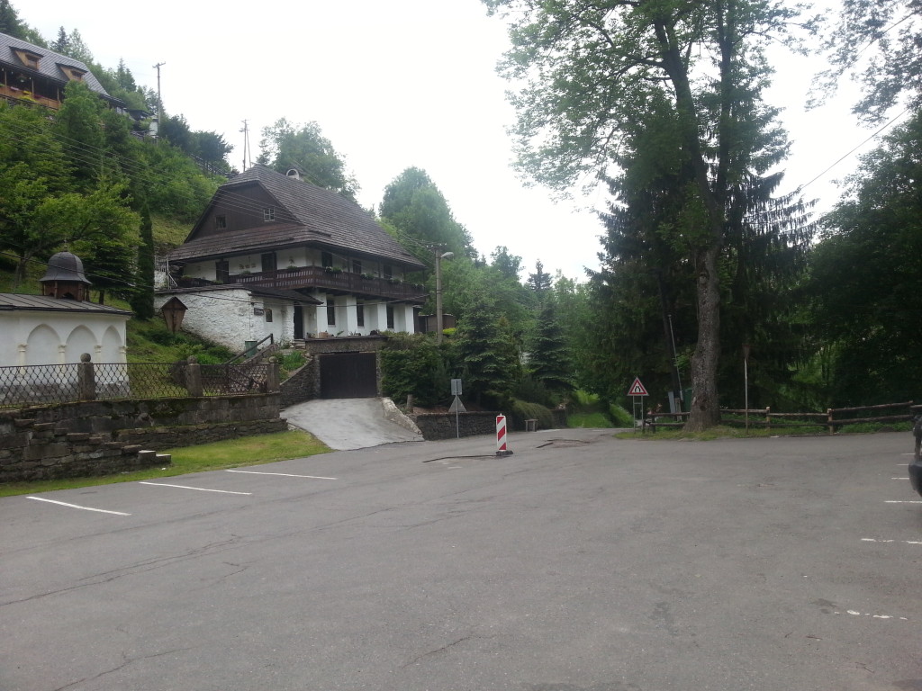
The cycle route starts on the square in Špania Dolina village, where several sign-posts with various hiking or cycle trails are located. From the square we will set off on the main road towards Banská Bystrica city. After 200 meters of descent we turn right between the houses towards the former cooperative farm. There we join a paved forest path along which the entire circuit around the Špania Dolina village leads. The route continues along the contour line around the Končitý vrch Hill (796 m above sea level) over the Uľanka and Polkanová settlements.
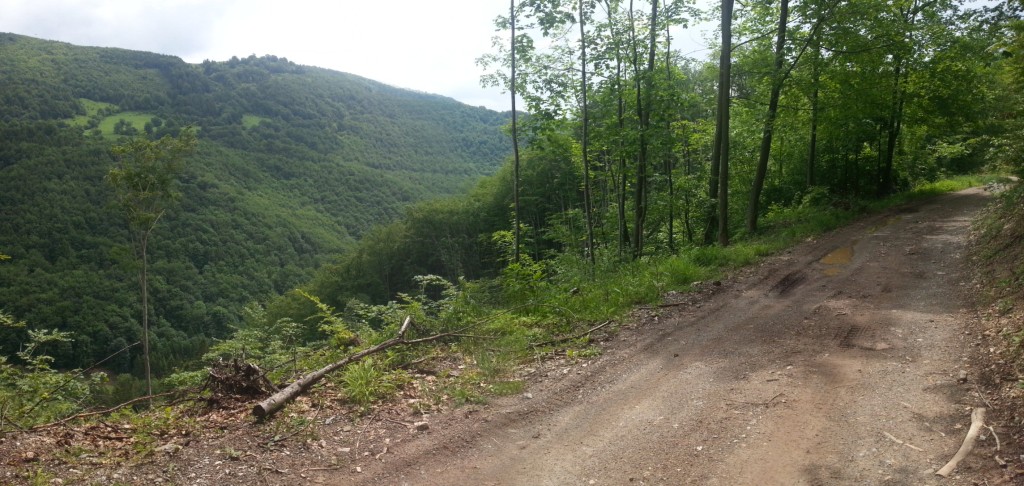
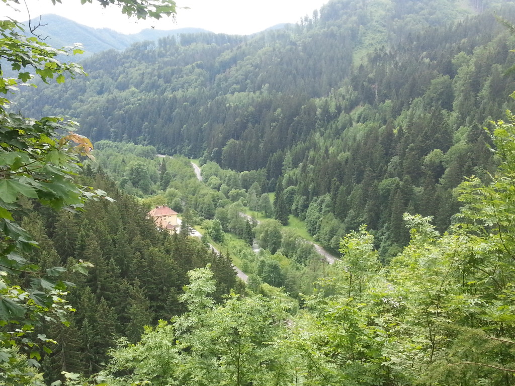
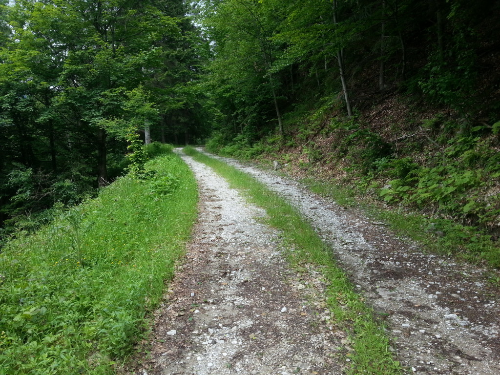
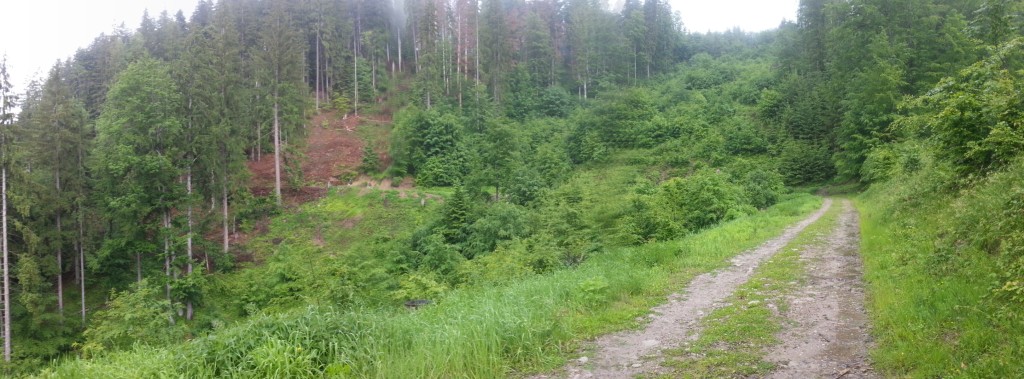
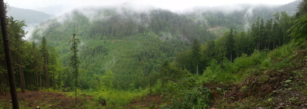
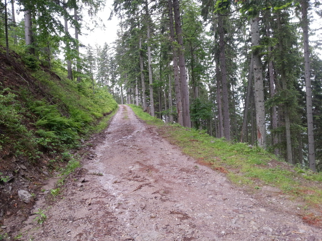
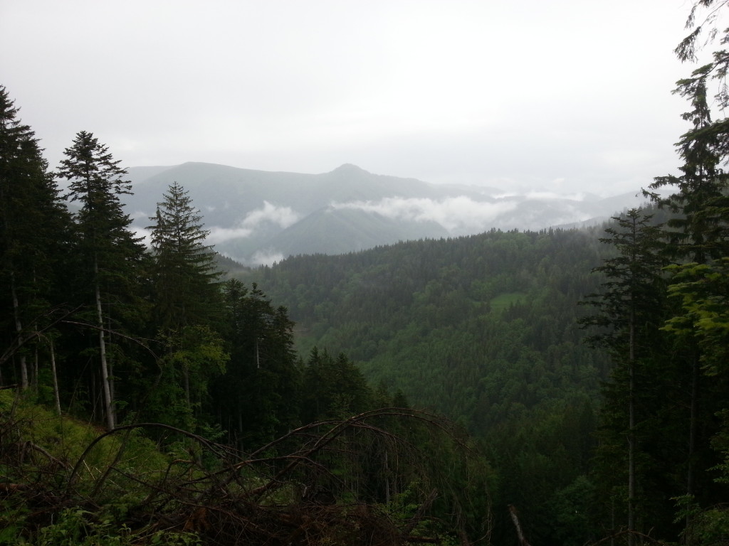
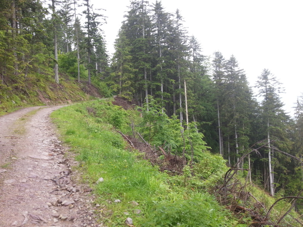
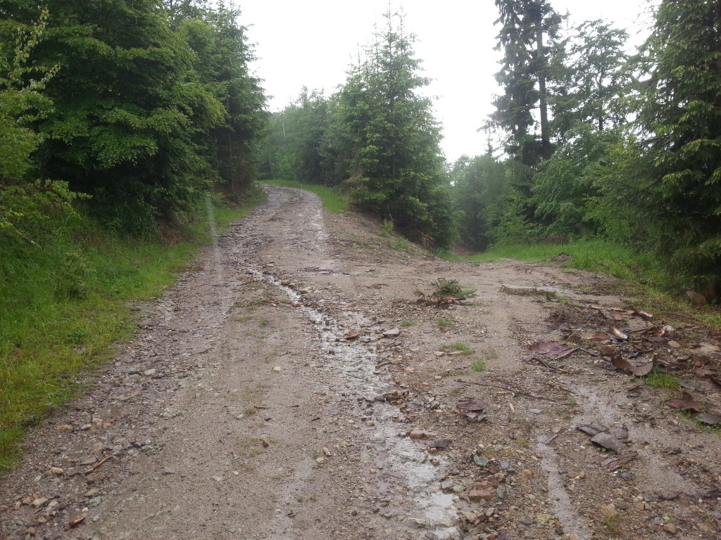
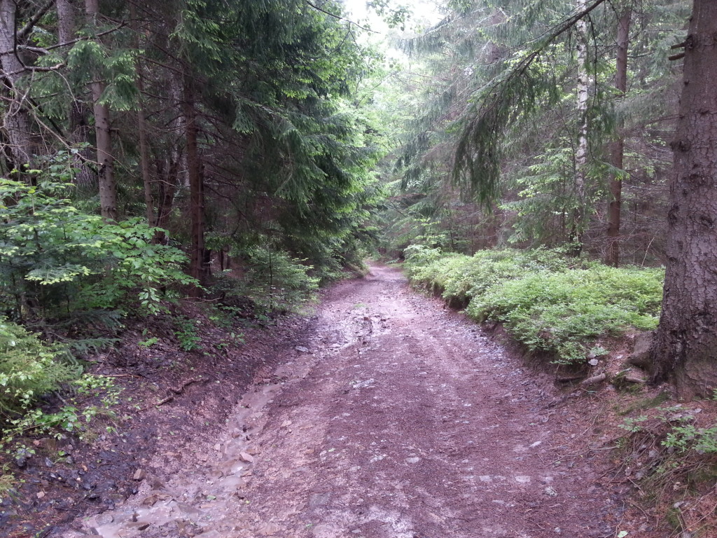
While riding a bike, we will have some beautiful views of the valleys, including a view of the railway tunnel. The road is paved, except for places where the trail goes into the forest and due to the amount of groundwater, the terrain is sometimes soaked, especially in rainy weather. However, there are very few such places and the overall surface of the cycle path is ideal for mountain bikes. Up to fifth kilometre of riding, resp. after turning to Uľanka settlement, the terrain is flat or descending.
From this point about next 5 km the terrain slightly rises to the crossroads of forest roads near the Piesky locality. There a sharper climb in the length of about 2 km begins up to the intersection at the uninhabited Ganiarka forest chalet, where the cycle trail crosses the blue tourist trail. We turn right and a 1.5 km long flat ride through the forest awaits us up to the forest roads crossroads at Katrenka locality. There we join a quiet turn to the right and after a beautiful kilometre-long forest descent we will arrive to the square in the village of Špania Dolina, where our route ends.
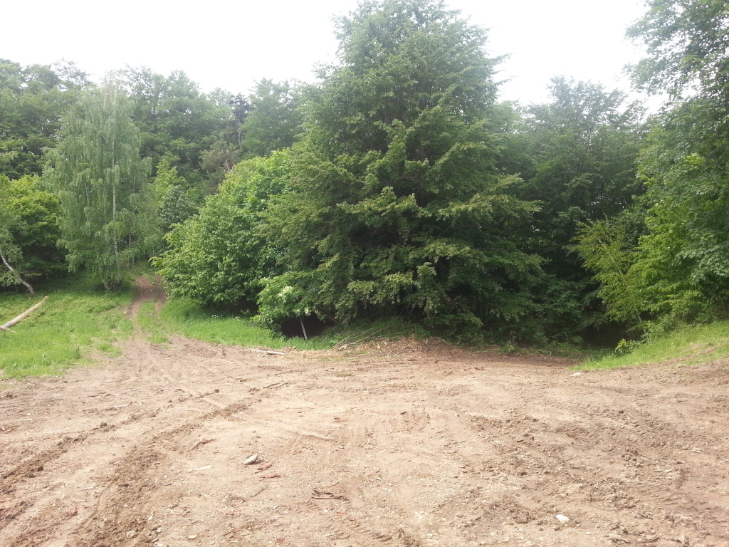
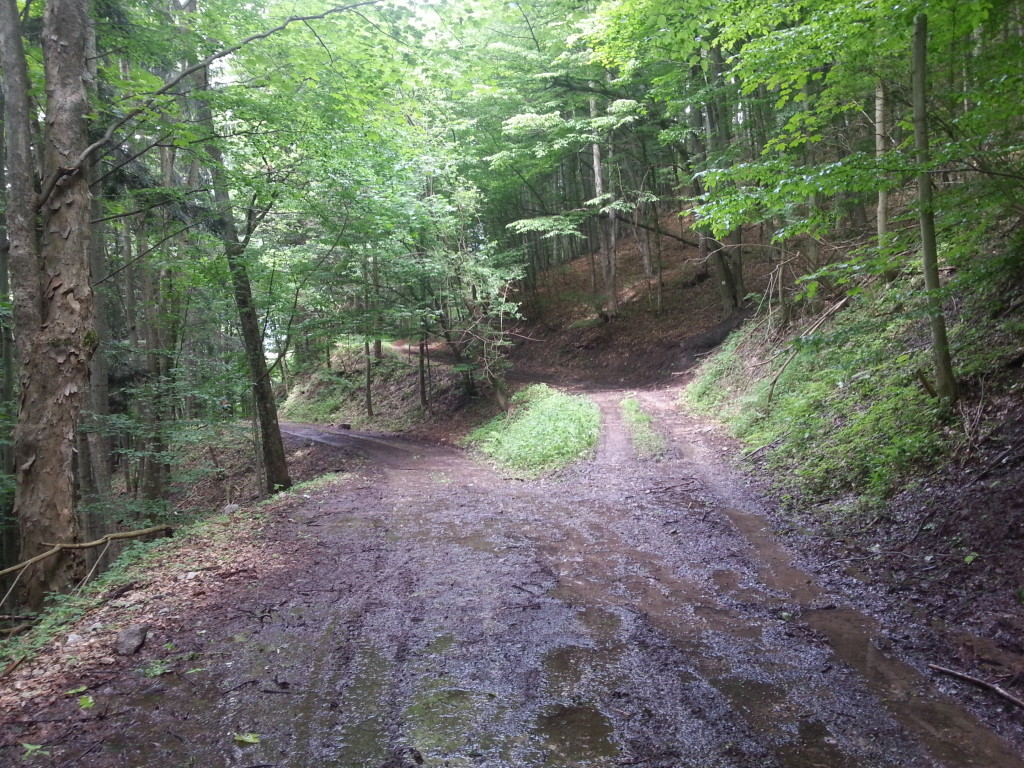
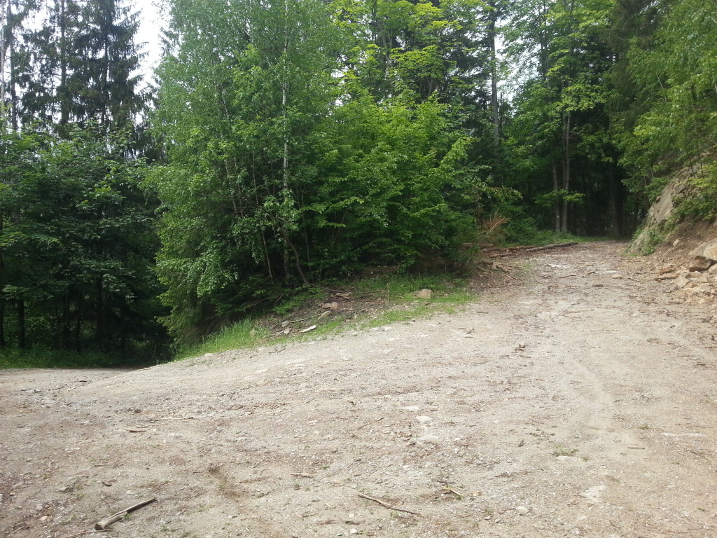
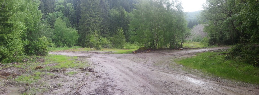
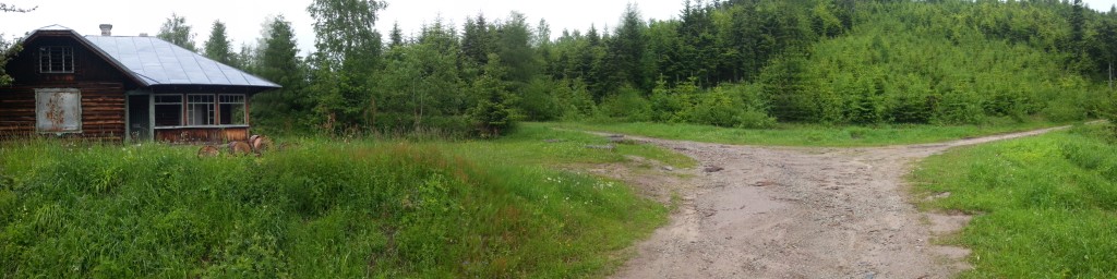
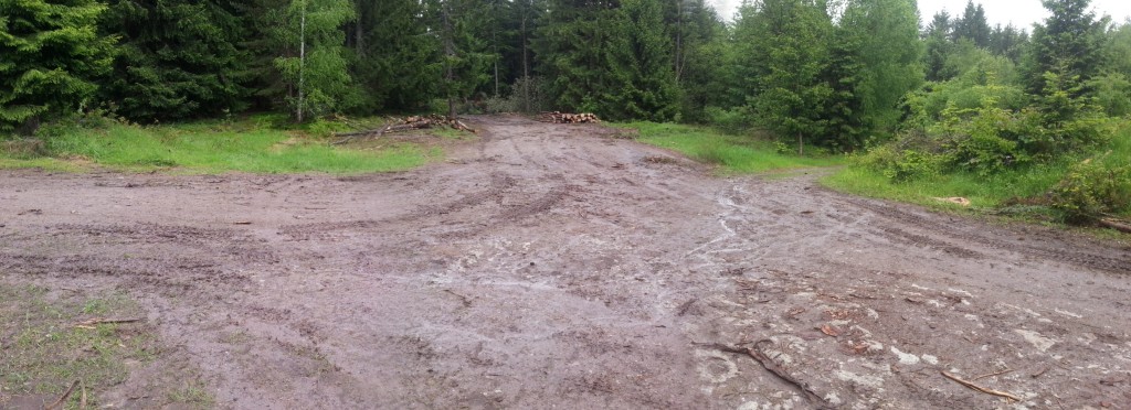
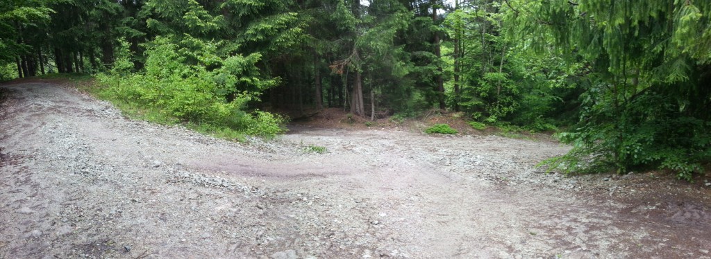
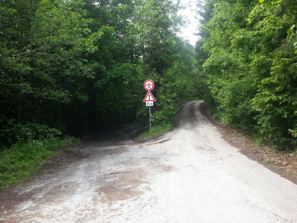
Although this route is marked on the maps as a properly approved cycle trail under number 5567, it is not marked in the terrain at all. Therefore, it is necessary to be cautious at every forest junction, which are a total of 9 on this trail. For better orientation, we inserted a photo of each junction with an electronically created sign-post using GPS coordinates in an interactive map. Photos of such marked crossings can be also printed in a separate file.